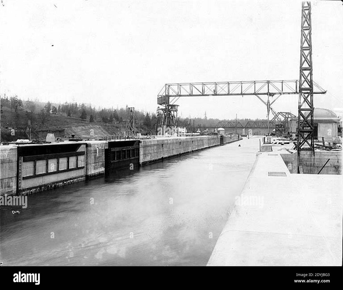
Imagine two large lakes with a narrow strip of land between them. More than a hundred years ago, that’s what Seattle looked like. People wanted ships to be able to sail from the saltwater bay straight into the lakes, so they dug a canal. But when the canal was built, an entire river quietly disappeared from the city map. Few people know about it today, and its story is worth telling.
A Canoe Route
Long before ships and engineers arrived, the Duwamish and other peoples of Puget Sound lived here. For them, lakes and rivers were roads. A narrow strip of land lay between Lake Union and Lake Washington. To travel this route by canoe, people had to pull their boats out of the water and carry them on their shoulders. This kind of portage made it easier for people from different villages to get around without having to travel huge distances.
Back then, only one river flowed out of Lake Washington: the Black River. It meandered south toward the Duwamish River, which led on to the bay. People traveled along it by canoe, and salmon swam through it. Those who lived along the lake called themselves “People of the Lake,” and the Black River was part of their world, just as the road from home to school might be part of yours.
The Dream of a Canal
White settlers saw the same place differently. Thomas Mercer, one of Seattle’s first residents, said as early as 1854 that one day the lakes would be connected by a canal, which would be very useful to the city. He envisioned it as “a place for sawmills and steamboats.”
Later, Harvey Pike also tried something similar on a smaller scale: he and his workers dug a narrow ditch for moving logs. But it was nowhere near large enough to be a real canal. The full-scale project got support only in the early 20th century, when Seattle had grown and needed a port, docks, and a freshwater harbor. Army engineer Hiram Chittenden came up with a plan: build locks to the west, near Ballard, and dig a narrow cut at Montlake, to the east.
How the River Was “Switched Off”
Here’s the story’s central secret. Lake Washington sat higher than Lake Union and the saltwater bay. If they were connected, water from the larger lake would flow downhill along the new route. To ensure a steady, controlled current through the locks, the level of Lake Washington had to be lowered by nearly three meters. It was like pulling the plug on a bathtub: the water drains away, and everything that had been at the water’s edge is left high and dry.
That’s exactly what happened. In 1916, the lake level dropped, and the Black River’s water fell so low that the river dried up. Before, the lake’s shoreline reached right up to people’s homes; afterward, wide new strips of land appeared along the water. Docks had to be moved, and homes ended up farther from the shore. Historians know less about what happened to the fish and birds in the river, but one thing is clear: the place where they lived and fed was no longer the same.
| What changed | Before the canal | After the canal |
|---|---|---|
| The only river flowing out of Lake Washington | The Black River, flowing south | The Black River dried up |
| Route to the bay | No direct water route | Canal and locks to the west |
| Level of Lake Washington | Higher | Nearly three meters lower |
What I Think About It
I think the most interesting thing about this story is this: the canal was built by people who wanted to make the city better, and in many ways they succeeded. Boats, yachts, and fishing vessels still travel through it today. But every big idea comes at a price, and sometimes those who pay it are the ones nobody asked. The Duwamish tribes lost some of their familiar places and routes, and the river simply ceased to exist. We usually notice what was built. It’s much harder to notice what disappeared.
Conclusion
Seattle’s ship canal looks like a beautiful and useful thing, and it is. But there’s a hidden “echo” alongside it: a dried-up river, a shifted shoreline, and the memory of people who traveled through these places long before ships arrived. A good story about engineers shouldn’t forget that echo. And perhaps that’s why, when new bridges or canals are built in cities today, we should first ask: “Who and what lived here before?” That way, new routes can serve not only people but also the natural world around them.