
A warm ocean wave generated by weakening trade winds near the equator is already raising concern along the U.S. West Coast: after reaching California in the coming weeks, it could raise coastal sea levels by roughly 6 inches for several months. The effect will likely weaken by the time it reaches Washington, but even a relatively small additional rise in water levels could prove decisive along the state’s exposed coast if it coincides with a high tide, storm and onshore winds.
This wave will resemble neither a tsunami nor ordinary surf. It is a Kelvin wave — a slow, largely underwater movement of warm water and elevated sea levels. Such waves first travel along the equator toward the coasts of Central and South America, then turn north, becoming effectively trapped between the continent and the influence of Earth’s rotation. Coastal instruments and satellites can detect them through a relatively small but sustained rise in water levels.
The current episode is linked to a developing El Niño that, according to NOAA estimates, could become very strong by the winter of 2026–27. Kelvin waves in the spring and summer already reached California in May and June, but NOAA Fisheries specialists expect the fall and winter effects along the coast to be more noticeable. Warm water can deepen the layer separating surface waters from the cold depths and weaken the usual upwelling of nutrient-rich water toward the coast.
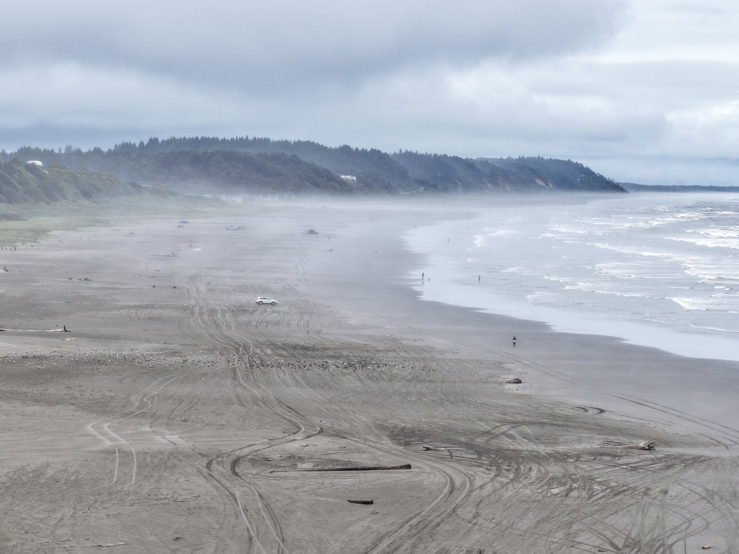
For Washington, it is not only the sea level itself that matters, but also what it encounters. Storm surge, waves and especially high tides combine with one another, turning a few extra inches of water into a flooded stretch of road, an eroded dune slope or a wave overtopping a protective structure. The most vulnerable areas include low-lying sections of the ocean coast, the entrances to Grays Harbor and Willapa Bay, and the shores of the Olympic Peninsula, where the open waters of the Pacific leave little room for error.
The risk already has a specific geography. In Pacific County, the state continues to reinforce a section of SR 105 near North Cove and Tokeland: erosion continued there even after work in 2025–26, requiring a new phase of construction. Along this coast, the ocean has long done more than advance and retreat according to the tide calendar — it is gradually reshaping the land, while roads and homes have become part of a process expected to unfold over centuries but sometimes accelerating within a single season.
Washington’s history offers reason not to dramatize the situation prematurely, but also not to dismiss it. During the strong 1997–98 El Niño, record tidal levels were recorded at Toke Point in Willapa Bay; the high water was accompanied by flooding and beach erosion. Over the long term, the baseline is rising: sea levels along the state’s shores are increasing unevenly because of local geology, but forecasts point to further acceleration in Puget Sound and along parts of the Pacific coast.
El Niño often brings a warmer and drier winter to the U.S. Northwest, although this is not guaranteed: even previous very strong episodes produced normal or above-normal snowpack in Washington. The ocean wave also does not mean flooding is inevitable. But it changes the starting conditions by raising the baseline water level for months. When winter storms arrive, local authorities and coastal residents will have to watch not just one forecast, but the rare coincidence of tides, wind, pressure and waves.
Based on: Kelvin wave may bring sustained high sea levels on WA coast