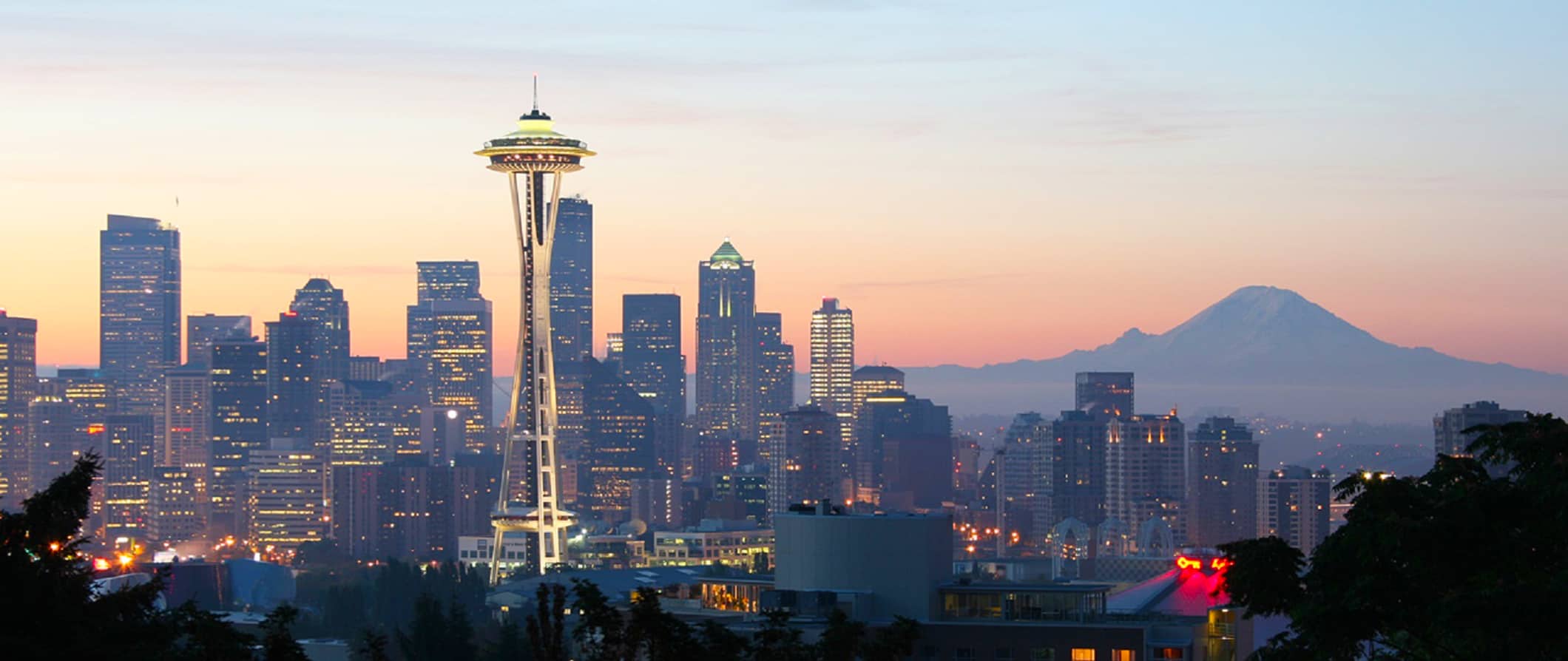
After a brief cold snap, weather in Seattle and its surrounding areas is returning to conditions more typical for late February. Meteorologist Dustin Guy of the National Weather Service said storm warnings for the Cascade Mountains and foothill communities such as North Bend and Enumclaw are no longer in effect. Residents can expect the usual pattern this coming week: cloudiness, periodic rain, and gradual improvement. Temperatures will hover around seasonal normals, currently about 11°C (around 52°F) during the day and about 3°C (around 37°F) at night.
Monday and Tuesday will be the wettest days, though, according to the meteorologist, it won’t be continuous downpours. The chance of precipitation will persist through the week, but by Thursday and Friday—and especially by next weekend—drier weather with possible clearing is forecast. "We’re not expecting any large-scale weather events," Guy noted. At the same time, a winter weather alert remains in effect for the Cascades for those heading into the mountains, including the Snoqualmie Pass, where snowfall is expected overnight into Tuesday.
Based on: Weather expected to get back to normal this week for the Seattle area