
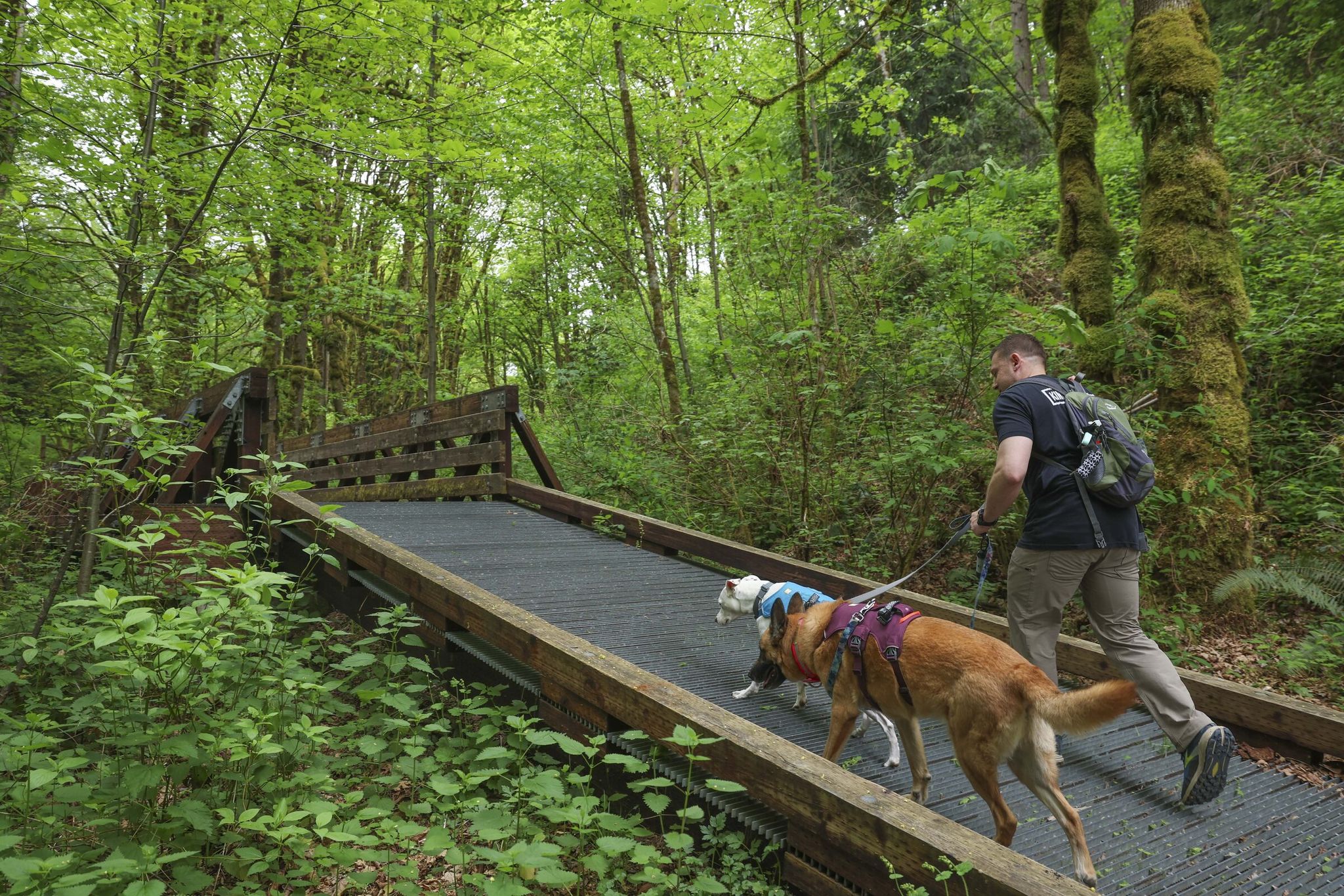
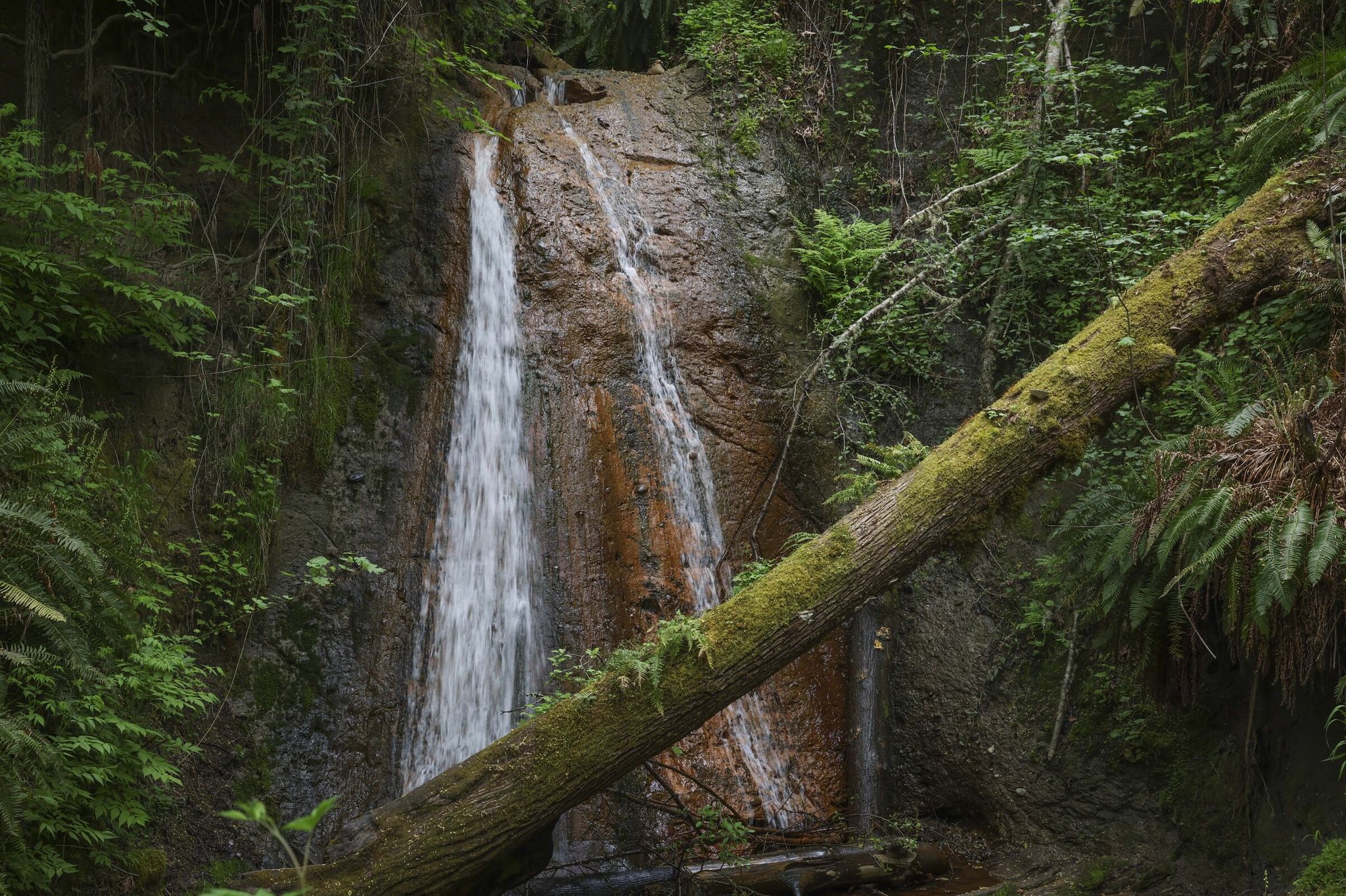
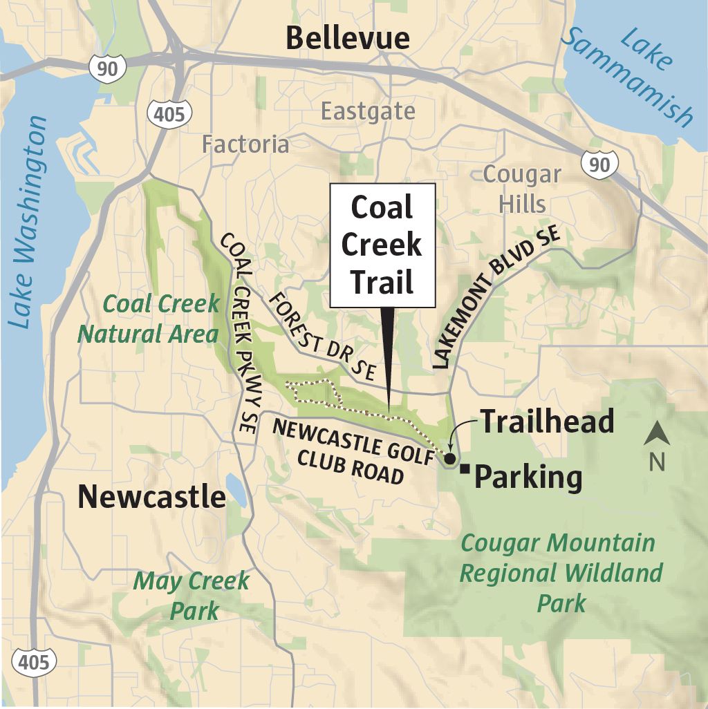
Walking the Coal Creek Trail in Bellevue, Washington, today you can enjoy dense forests of mossy trees and ferns, but few realize that a century ago coal-mining settlements thrived here. This area, part of Cougar Mountain Regional Wildland Park — itself within the “Seattle Greenbelt,” a network of protected lands linking urban natural areas to the foothills of the Cascade Range — once produced coal. Together with Squak Mountain and Tiger Mountain parks it forms the Issaquah Alps, a popular hiking zone that protects watersheds and gives Seattle residents access to wilderness just 20 minutes from downtown. The trail now reveals traces of that bustling era to curious visitors.
Millions of years ago vegetation was compressed by pressure and heat into thick coal seams. Active mining began in the mid-19th century, and whole towns sprang up nearby: Red Town, Rainbow Town, White Town and Finn Town. These names were given by ethnic or color attributes, reflecting the diversity of immigrant communities — especially Finns and Swedes — who worked the coal mines. They symbolize the multinational contribution to the region’s industrialization. Over a century of operations roughly 11 million tons of coal were extracted and shipped up and down the West Coast. Coal mining became a major economic engine: coal was sent to San Francisco and to Hawaii for steamships and railroads, helping make Seattle a trade hub. Mining spurred construction of rail lines over the Snoqualmie Pass and port infrastructure at Elliott Bay, drew thousands of immigrants, and laid the groundwork for subsequent logging and shipbuilding booms, helping the Pacific Northwest become independent of California fuel supplies.
Today you can spot diagonal coal veins exposed in the rock along the trail’s slopes. Nearby is a capped ventilation shaft — a manmade cave that once extended more than 300 feet underground. And right on the trail remains a massive concrete slab — the foundation of a turntable used to turn locomotives.
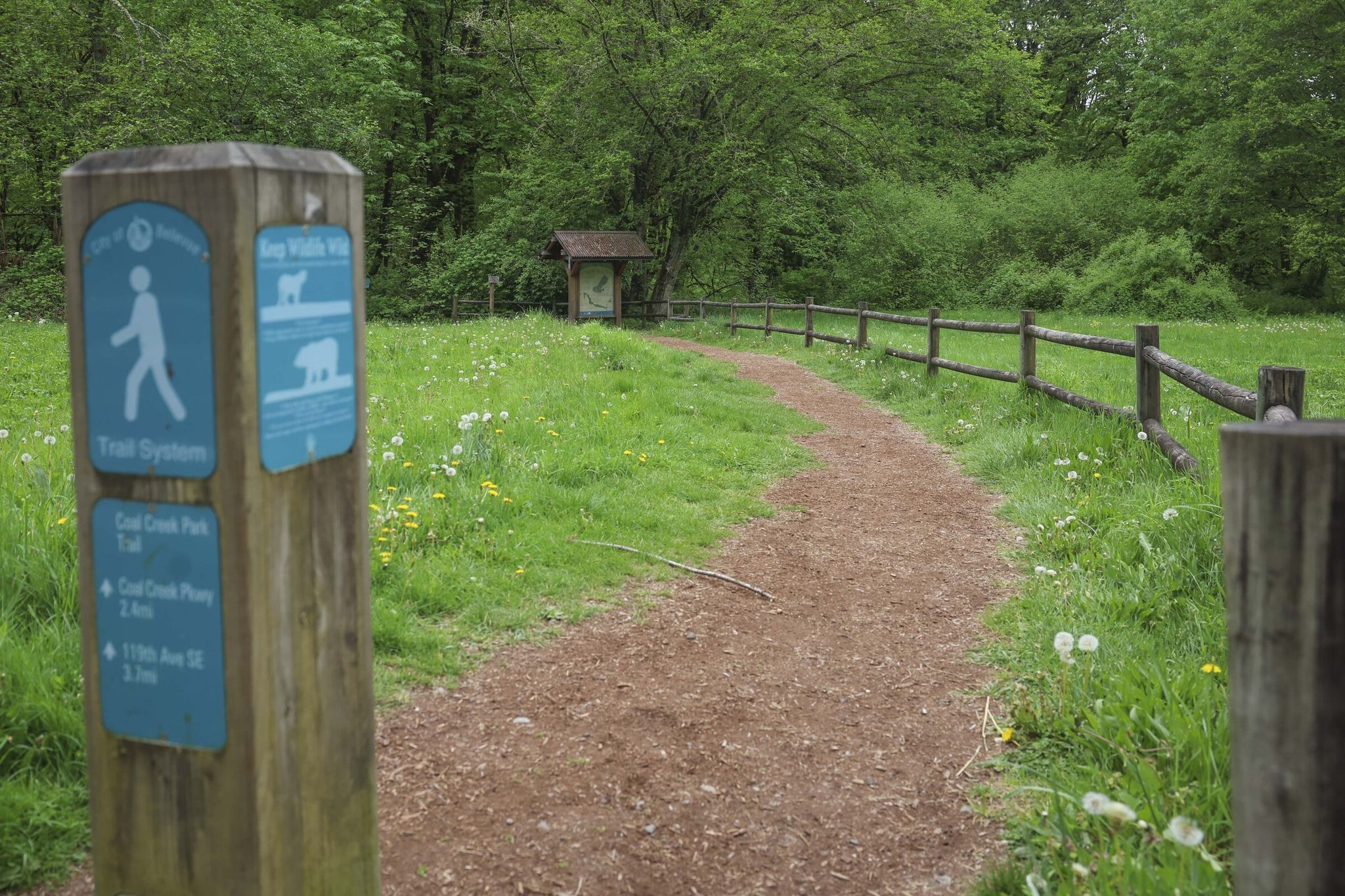
Bellevue, mindful of this history, has created an interpretive route with informational panels. Old black-and-white photographs displayed there help imagine what the mines, stockpiles and rail lines once looked like. Now only birdsong and the murmur of water are heard, but once the hills shook with the rumble of trains.
The boom days of coal ended in the 1930s because of the Great Depression, cheap oil and imported coal. Nature quickly reclaimed the land: forests swallowed buildings and roads grew over with grass. The story is a reminder of how rapidly even the most vibrant human settlements can vanish, leaving only faint traces.
Walking Coal Creek, you can’t help but wonder: what will future hikers see in a hundred years when they examine the ruins of our towns? They, too, may have to summon their imagination to picture what life was like on these lands. For now, the trail offers a unique chance to touch a forgotten past right in the middle of wilderness.
Based on: Coal Creek Trail reveals hidden history of Eastside’s mining towns