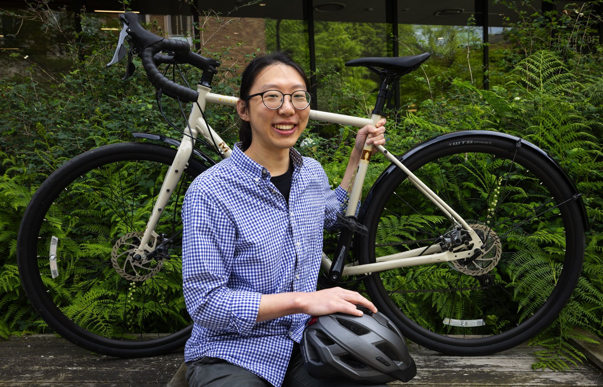
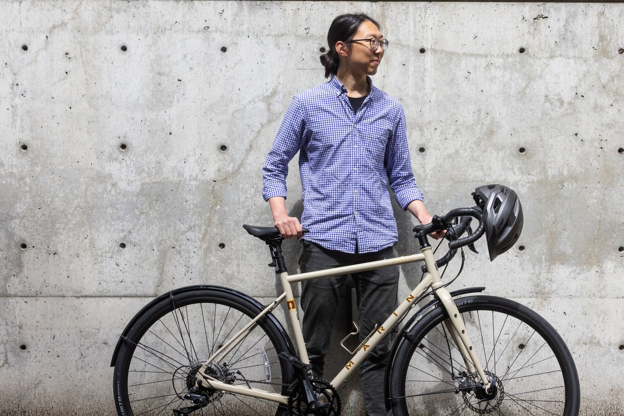
Washington University doctoral student Jared Hwang set out to do what giants like Google hadn’t managed: create a map tailored perfectly for cyclists. The inspiration came from personal experience — every time he wanted to bike from his home in Capitol Hill to campus, the route guides suggested inconvenient paths. Capitol Hill is one of Seattle’s most bike-oriented neighborhoods, known for its progressive culture and active cycling community. It features protected bike lanes on Broadway, numerous bike shops and cafés, and activist events like Critical Mass. From this grew the Bike Butler project — an online tool that accounts for a rider’s individual preferences: from a calm family ride on protected paths to a fast commute amid traffic. The name “Bike Butler” emphasizes the app’s role as a personal assistant caring for riders’ safety and comfort, with an indirect nod to Seattle’s rainy climate and hilly terrain, where reliable navigation is especially important.
To tackle the complex task of analyzing tens of thousands of street images, Hwang recruited an unexpected collaborator: high schooler John O’Meara from Issaquah. The teen had already made his mark at the Makeability Lab, where he worked on Project Sidewalk. That project — developed in the same lab led by Professor John Froehlich in the Paul G. Allen School of Computer Science & Engineering at UW — used virtual reality and crowdsourcing to assess sidewalk accessibility for wheelchair users. The skills gained there — working with crowdsourcing, analyzing urban data, and mapping obstacles — were directly applied to developing Bike Butler. Hwang admits he “poached” O’Meara because the student had machine-learning skills Hwang himself lacked.
Seattle is an ideal laboratory for such an experiment. The city is actively building cycling infrastructure: protected lanes, trails, and special “Healthy Streets.” The Healthy Streets program is a city initiative that temporarily closes select streets to through car traffic, creating safe space for pedestrians and cyclists. Unlike standard bike lanes (dedicated strips along roads), Healthy Streets turn an entire street into a car-free zone, allowing people to walk, bike, or run across the full width of the roadway. Thanks to this, Seattle ranks among the best U.S. cities for cyclists: Strava data, Lime usage, and the census report record numbers of trips. More than a million cyclists crossed the Fremont Bridge this year alone — that bridge serves as a key bike-traffic “counter”: it carries one of the most popular routes connecting Fremont and Queen Anne, and city officials install sensors on it to tally bike activity. Other important bridges — Ballard, Gas Works, and the University Lake area — provide access to major residential and commercial zones. But, as Hwang found, not all streets are equally pleasant to ride.
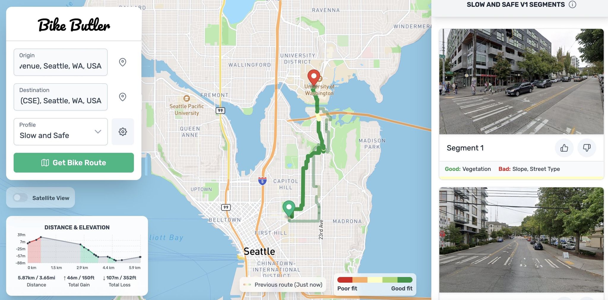
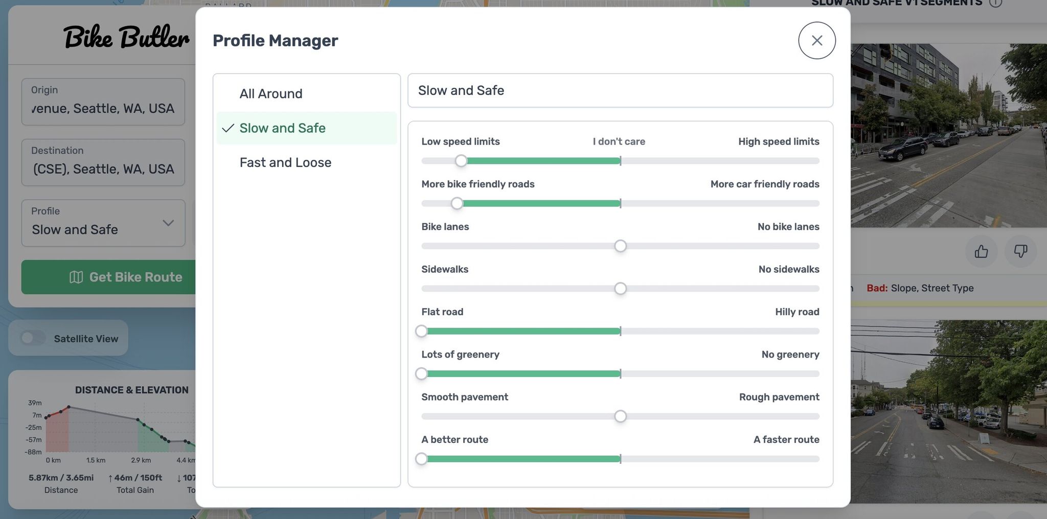
Existing maps — Google, Apple, Strava — don’t account for nuances. For example, Broadway has a bike lane, but in practice it’s a noisy and dangerous road. Hwang wanted to find quiet, shady routes with smooth pavement. Bike Butler offers eight adjustable factors: presence of bike lanes, elevation changes, greenery, pavement quality, and others. Sliders let users choose a profile — from “slow and safe” to “fast and freewheeling.”
To add subjective parameters like the aesthetics of a street, O’Meara trained Google Gemini to analyze 55,000 Google Street View images. The AI learned to “see” the city through a cyclist’s eyes: to assess road quality, greenery, and the overall feel of a street. Hwang emphasizes that AI is used strictly for the task at hand, though that choice might deter some users.
The result of Bike Butler is more than a route — it’s a detailed plan with segments. The map shows where the character of a road changes: for example, where a protected lane becomes an unmarked street. Each segment is accompanied by real photos and explanations of how that stretch matches the selected preferences. According to Hwang’s advisor, Professor John Froehlich, whose Makeability Lab is known for projects like virtual assistants for the visually impaired and tools for urban accessibility, such tools are important because “computers treat all trip reasons the same, and people are different.”
The project has limitations. As a research tool, the map isn’t updated in real time and is “frozen” at the time of creation. It doesn’t account for intersections — the most dangerous place for a cyclist — and it’s hard to read on smartphones. But Hwang sees a more ambitious goal: if many Seattle residents use Bike Butler and set their preferences, that data could be passed to the city to inform bike-infrastructure planning.
The map’s source code is open, so anyone can create a similar service for their city if the necessary data exists. Hwang hopes his invention will help Seattle remain a leader in biking. “If this leads to a bike lane on every street, I’m all for it,” he says, stressing that more cyclists are better for everyone.
Based on: Better Seattle biking? A UW student and a high schooler have it mapped